Industrial Hypertext · Perth, Western Australia
IHTMaps: maps, forms and inspection evidence together
Replace disconnected inspection notes, photos and spreadsheets with a configurable browser-based workflow. IHTMaps connects the location, inspection record and supporting evidence for councils and field teams.
Book an IHTMaps demoIndustrial Hypertext · Software development since 2002
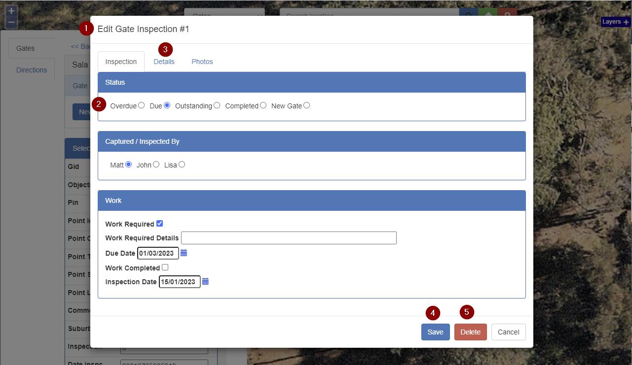
Complete the inspection where the work happens
Find a property or asset on the map, open its inspection form and record the outcome. Existing paper or electronic forms can be converted into configured fields that reflect the way your inspectors work.
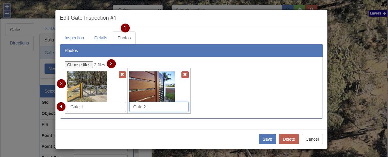
Keep photos with the inspection record
Add multiple photos and comments to the inspection. Images can come from the device camera or be uploaded, keeping evidence attached to the record rather than scattered across camera rolls and email.
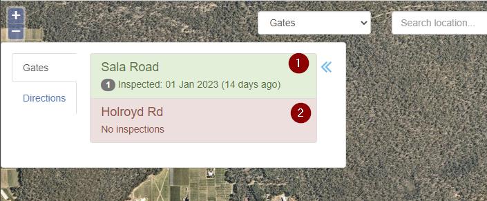
See what has been inspected
The inspection list and map use configurable status colours to help staff distinguish recently inspected items from those still needing attention. This gives the office a view of progress without rebuilding the inspection history from separate notes.
Configure a workflow for your team
Firebreaks, gates, water tanks, property checks and asset inspections are examples of location-based workflows that can be configured. Start with your actual form and map data so the pilot represents the work staff need to do.
We discuss the required fields, evidence, inspection stages and reporting before configuration. Read about council inspection pilots.
Connectivity, hosting and GIS integration
IHTMaps runs in a browser on internet-connected devices such as tablets and laptops. Plan for a working data connection in the field; offline operation is not included in the workflow described here.
The system uses a spatial database and can be configured to integrate or synchronise with existing GIS data. Cloud or on-premises hosting can be discussed, along with compatible basemaps such as OpenStreetMap, Nearmap or Google Maps. Required map subscriptions and integration work are scoped separately.
Book a demo, then scope a pilot
In a practical demo, we look at one inspection process and walk through capture, photo evidence and status review. The next step is a pilot scoped around your forms, map layers, users and hosting requirements.
Configuration, training, support and ongoing costs are agreed in the proposal. Download the existing product brochure for additional screenshots and background; contact us using the current details on this page.
Start with a conversation
Tell us what you would like built or improved. A few sentences are enough to discuss fit, scope and the next step. Response target: one business day.
Book an IHTMaps demo